
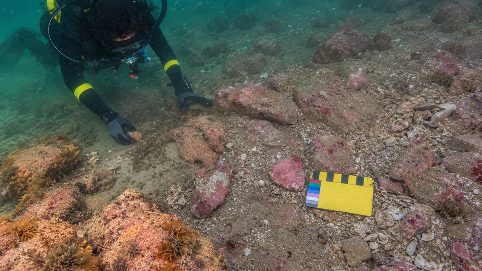
Between 11 and 15 metres under the sea off Murujuga, in Western Australia’s northwest, lie 21 pieces of worked stone. Nobody dropped them from a boat. They were left on dry land, beside a freshwater spring and on a rocky rise over a river, and then the water came. That was at least 9,000 years ago. The stones themselves may be much older.
The finds, reported by Leman Altuntaş for Arkeonews, come from two underwater sites described in a new paper in Quaternary Science Reviews. Its lead author is Jonathan Benjamin, and it lists twenty authors in all, among them archaeologists from Flinders University, the University of Western Australia, James Cook University and the University of York, according to Phys.org’s account of the study. Two of the twenty are Indigenous Rangers.
A young coastline
At the height of the last Ice Age the sea stood as much as 130 metres lower than it does now. Australia’s continental shelf lay open, a wide country of springs, rivers and rocky hills, and Aboriginal people moved across it, drinking from its water and picking up its stone. When the ice melted the ocean rose and swallowed it, slowly enough to look patient and steadily enough that nothing on it survived. Rivers became channels on the seabed. Springs went on bubbling into salt water.
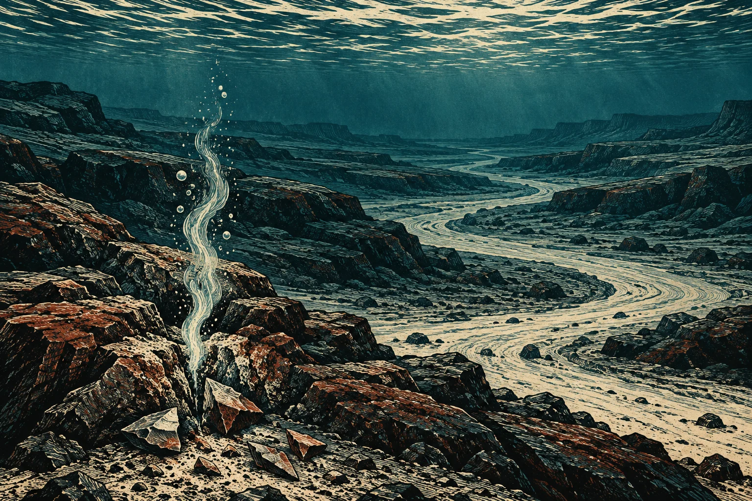
So the shoreline that maps print as Australia’s edge is a recent line. People were living on this continent long before it was drawn.
Two places, two purposes
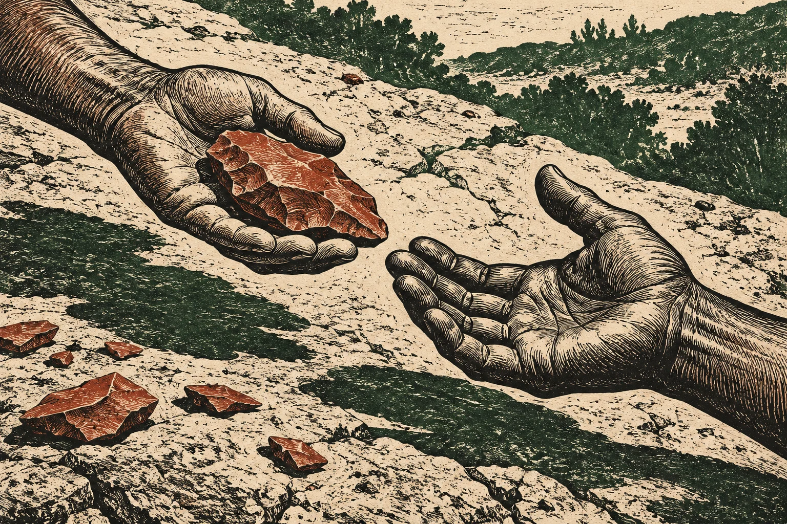
The first site, called WH2, sits beside a submerged freshwater spring in Flying Foam Passage. Divers recorded nine artefacts there. Four were made from stone linked to geological sources near today’s Rosemary Island, roughly 23 kilometres away. Someone carried that stone across ground that is now sea floor, a distance a person on foot covers in about a day.
The second site, Maitland River Hummock, is a rocky rise beside the old course of the Maitland River. Here the team documented 12 artefacts, cores and flakes of the sort left over from making tools, and every one was of rock found close by. Good stone lay all around. People may have come to this spot to quarry it and work it.
The researchers read the difference cautiously, and so should anyone else. The hummock, they suggest, may have been a local workshop. The spring, where stone from far away turns up, may have been a place where communities met.
Water draws people. That much has not changed.
Stones that stayed put
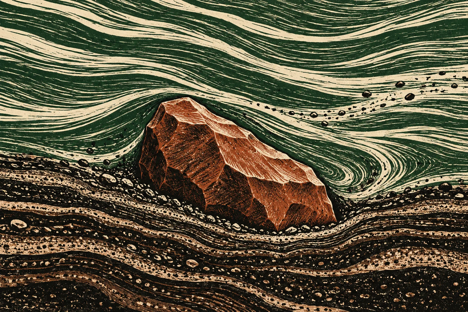
The team reports little sign that the tools were moved far by currents, even after thousands of years underwater. That claim matters, because the earlier underwater finds at Murujuga have been disputed. In 2020 the same research program published in PLOS ONE what it called Australia’s first confirmed ancient underwater archaeological sites on the continental shelf. One was Cape Bruguieres, where divers mapped 269 artefacts in water down to 2.4 metres deep and put the site at no less than 7,000 years old. The other was a spring 14 metres down in Flying Foam Passage, estimated to be at least 8,500 years old. In 2023 the team reported five more artefacts at a submerged spring in the passage and, in a release published on EurekAlert, argued that Flying Foam Passage must be protected as an archaeological site.
Not everyone agreed. A 2024 paper in the journal Geomorphology contended that the Cape Bruguieres artefacts were intertidal and probably not in their original position, that those in Flying Foam Passage had probably been moved, and that neither the artefacts nor the sediments around them had been dated effectively. The new study, with its argument about raw material and transport, steps into that quarrel. Its dates are still minimums, set by when the sea arrived, not by when the stones were struck. The team has posted its chemical analyses of the artefacts and of geological samples from Dolphin and Angel Islands, so others can test the sourcing for themselves.
Divers from the country itself
The work was done with the Murujuga Aboriginal Corporation and its Indigenous Rangers, people who look after their ancestral lands and heritage. Some of the Rangers trained as scientific divers and searched the seabed themselves. Malik Churnside and Richard Variakojis are co-authors, and Phys.org reports that Churnside found one of the artefacts himself. The drowned ground is part of what the region’s custodians call Sea Country.
A reflection, offered only as one: archives are usually kept by the powerful and read to the rest. On this stretch of seabed the descendants of the people who left the record went down to read it, and they signed their names to what they found.
The shelf beyond
Every search so far has been in shallow water. Most of the continental shelf, the land that lay dry when the sea was 130 metres lower, has never been examined at all. If people walked there, as the Murujuga stones suggest they did, older sites may lie farther out and deeper, like the ones archaeologists elsewhere have recovered from a drowned port off Tamil Nadu and a German lake bed.
The water makes the work hard. During the 2023 survey of the passage, according to the team’s account of that work, the currents slowed enough to search for only about 40 minutes per dive.