
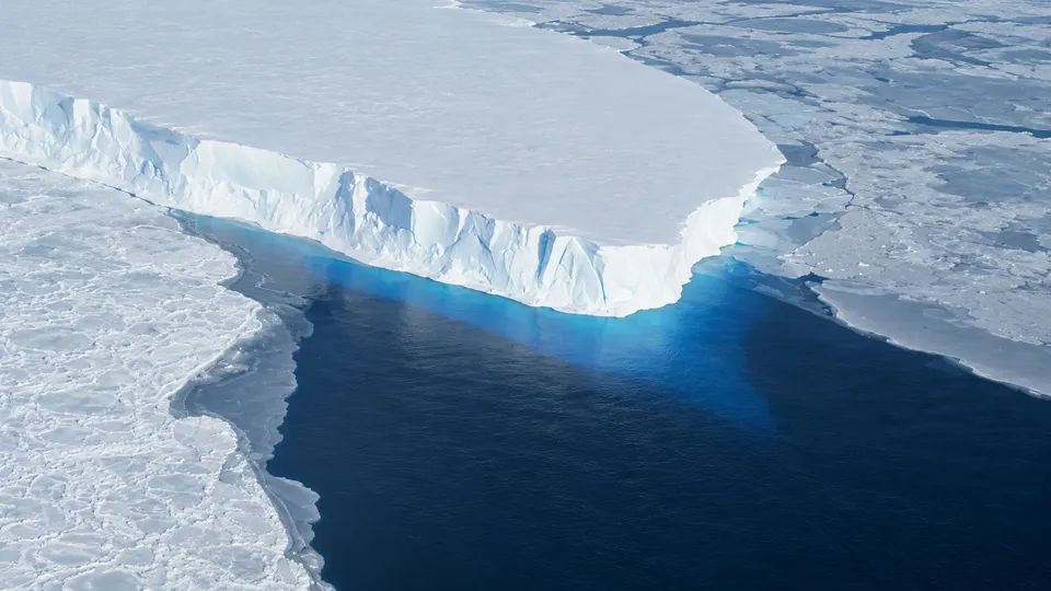
Here is a sentence that should bother anyone who owns beachfront property, insures it or lends against it. Al Jazeera reports that the Thwaites glacier in West Antarctica, a slab of ice about the size of Senegal, is melting a lot faster than expected. New research says it could add 30 millimetres (1.2 inches) to global sea levels over the next century. That is twice the earlier estimate, and it doesn’t depend on global warming speeding up.
The research is a paper in Nature Communications titled “Sea-level contribution from Thwaites Glacier doubles in an observation-constrained ice-sheet model.” The lead author is Mattia Poinelli, who did the work as a postdoc at UC Irvine and is now a project scientist at UCLA, and the team includes glaciologists from UC Irvine and NASA’s Jet Propulsion Laboratory. The headline figure is a ceiling, not a midpoint: according to the university’s release, the glacier will add “up to” 30mm by 2100, even with no further climate warming. The release doesn’t give the old number, but “double” puts it at about 15mm.
Thirty millimetres doesn’t sound like much. Thwaites holds about 60 centimetres of potential sea-level rise in total, by UC Irvine’s estimate, so 30mm is roughly a twentieth of it. But the size of the forecast isn’t really the point. The point is what moved it, because that is a story about a model missing a piece of physics.
The line that is actually a zone
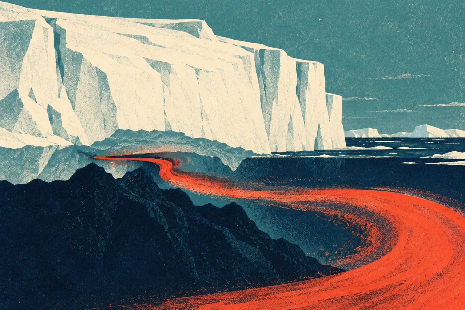
Ice sheet models generally treat the place where a glacier lifts off the seabed and starts to float as a line: grounded ice on one side, floating ice on the other, and the ocean melts the ice it can reach. It is a tidy assumption, and it seems to be wrong in a way that matters.
“Glaciologists have long based their assumptions of ice sheet dynamics on the ‘grounding line,’” Poinelli said. What he and his colleagues describe instead is a grounding zone several kilometres wide. Tides raise and lower the ice, and every cycle forces warm, pressurised seawater kilometres in under ice that is supposedly sitting on bedrock. Poinelli calls this the area “where warm ocean water is reaching deep underneath the ice sheets and causing vigorous melting.” Al Jazeera’s version is that the warm water is getting underneath the glacier and melting its core.
This builds on a 2024 study in PNAS led by UC Irvine’s Eric Rignot, a co-author of the new paper. That team used daily radar from Finland’s ICEYE satellites, measured to the centimetre, to watch Thwaites flex with the tides in spring 2023, and found seawater reaching several kilometres beneath its grounded ice. The 2024 paper showed the mechanism existed. The 2026 paper puts it into a model and checks whether it explains the past.
It does, and this is the part I find most convincing. The team calibrated the model against more than 20 years of observations. With the grounding zone included, it reproduces glacier change from the 1990s to now that is four times more pronounced than conventional models produce. So the old models weren’t only too optimistic about the future. They couldn’t account for what had already happened. “Most projections to date have struggled to match the rapidity of the mass loss because of missing physics,” Rignot said.
A model that can’t explain the last 30 years shouldn’t get much trust on the next 75. Poinelli makes a gentler version of the same argument: if you tie a model to observations, “you gain a reliable pathway for narrowing uncertainty in projections.”
The ridge
The more worrying figure is a probability. Thwaites sits on bedrock that gets deeper as you move inland, so each step of retreat puts thicker ice in contact with more ocean. At the moment it is held back by underwater high points that “pin” the ice, and the main one is the Mouginot Ridge. “The Thwaites main trunk is being temporarily stabilized by the Mouginot Ridge,” Poinelli said. “Once that ridge is unpinned, the glacier will continually retreat across a predominantly retrograde seafloor.”
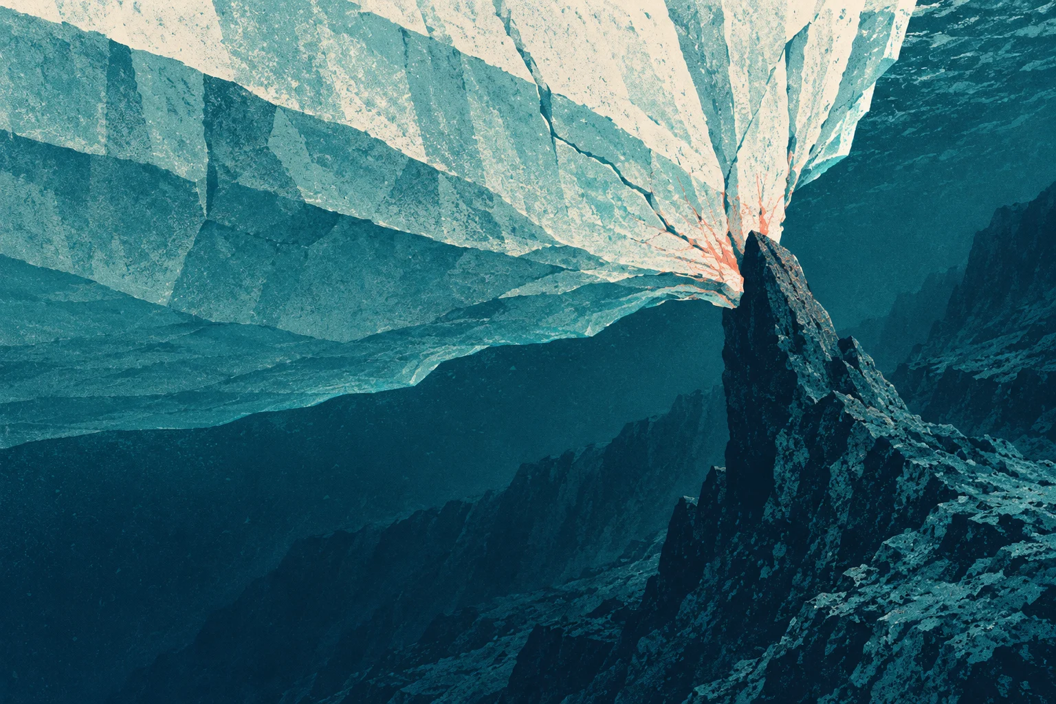
In simulations with a grounding zone 4 to 6 kilometres wide, the researchers put the chance of the glacier fully detaching from the Mouginot Ridge by the end of the century at 60 percent. After that, the expected retreat runs quickly down the slope to the next high point, the South Ridge. So the reassuring case, where the ridge holds, has odds of 40 percent. Nobody would accept those odds on their house.
It is worth being clear about which parts of the picture the paper changes. Thwaites already accounts for about 4 percent of global sea-level rise, CNN reported. It lies in the Amundsen Sea Embayment, which produces about a third of the Antarctic ice sheet’s mass loss. Its nickname, the “Doomsday Glacier,” predates this paper. The new part is a mechanism and a doubled number. The ocean, as earlier rews coverage of West Antarctic snowfall noted, isn’t the only force shaping the ice sheet, but at the grounding zone it seems to be doing more of the work than the models assumed.
Rignot’s summary is the one that matters for anyone who has to plan around it: “These results predict greater risk of and exposure to coastal flooding than anticipated in the coming decades.” Sea walls, flood insurance pricing and thirty-year mortgages on low-lying land all depend on sea-level projections, and those projections depend on ice models. Ice models, it turns out, were treating a tidal pump several kilometres wide as a line.