
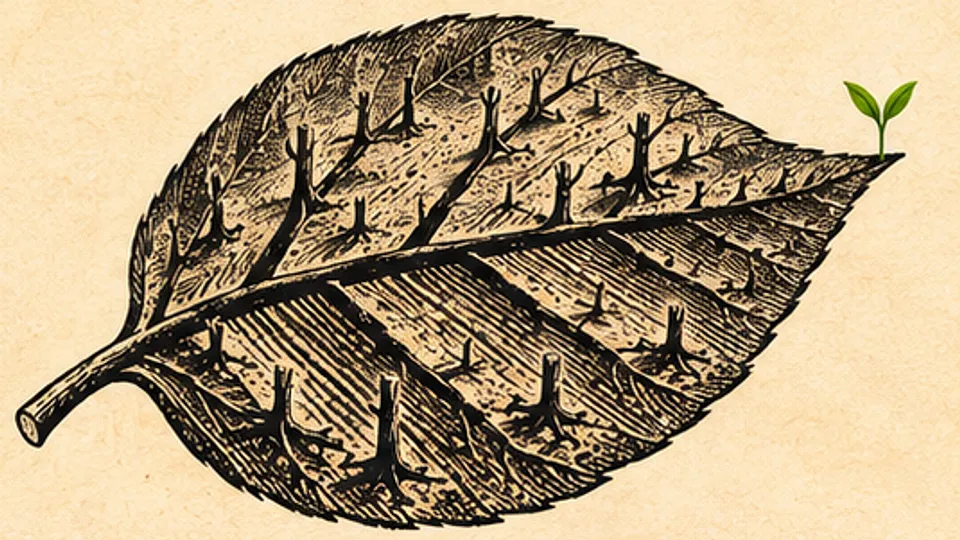
More than 95% of Gaza’s farmland, counting orchards, greenhouses and field crops, had been destroyed through December 2025, a University of Utah researcher who maps war damage from satellite imagery said in an interview published on Thursday.
He Yin, an associate professor in the university’s School of Environment, Society and Sustainability, said the number was so high that he first assumed he had gotten it wrong. “When I first saw the results, I thought I had made a mistake because the numbers were too high,” he told the university’s news site, @theU. He said he went back through the analysis and ran accuracy assessments, and the results held.
“It’s totally unprecedented,” Dr. Yin said. He has studied conflict damage to land in the Caucasus and Syria. He hasn’t seen another case at that scale, he said.
His figure runs above the most recent United Nations damage count from 2025. The Food and Agriculture Organization and the UN Satellite Centre reported on Oct. 31, 2025, that about 87% of Gaza’s cropland was damaged as of late September, up from about 80% in April. Orchards and trees were 89% damaged, field crops 88% and greenhouses nearly 80%, according to the agency. An FAO assessment in August 2025 put 98.5% of cropland as damaged, out of farmers’ reach or both. The FAO has said its satellite analysis is not checked against field visits.
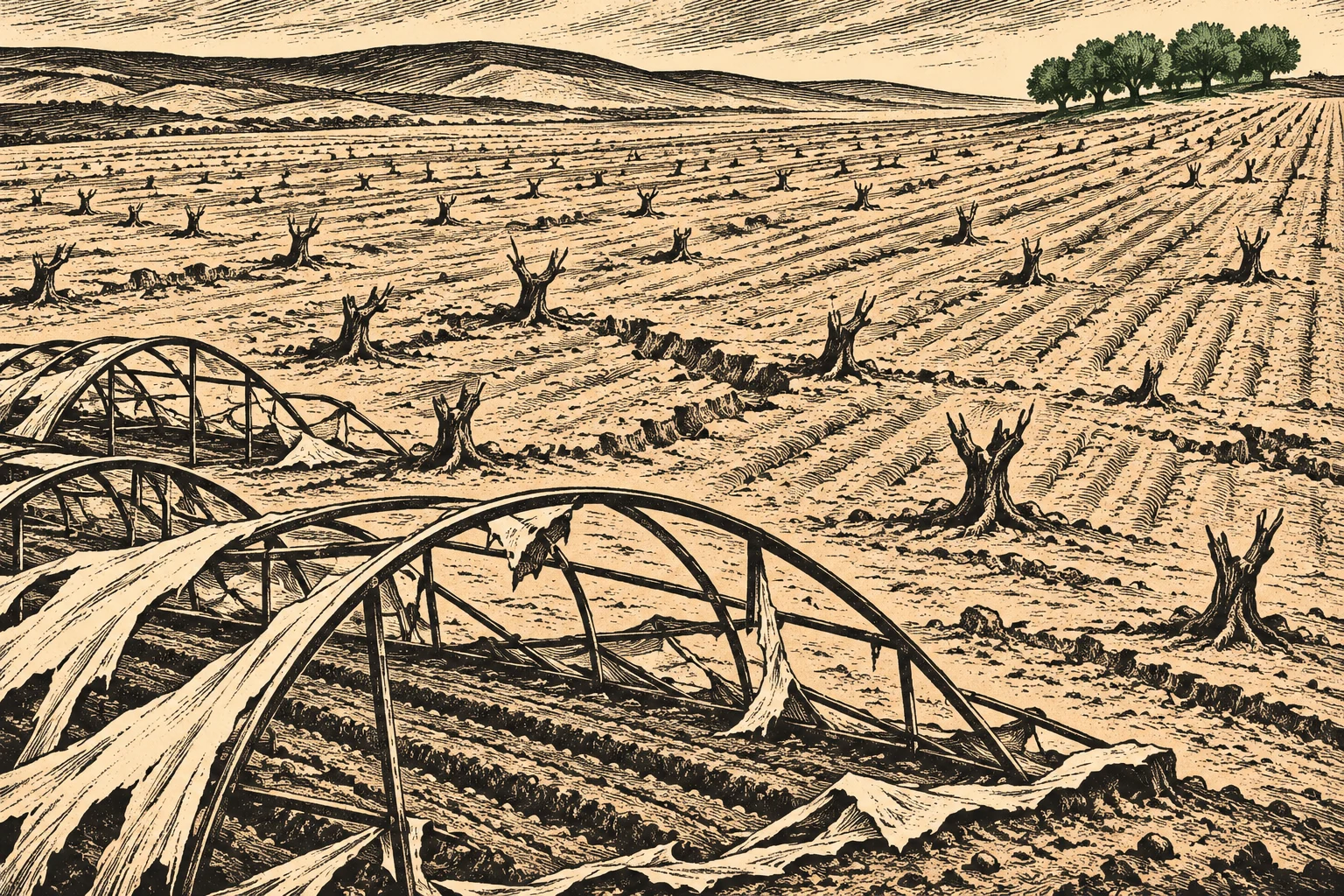
Dr. Yin’s estimate builds on earlier work. A peer-reviewed study he led with Lina Eklund, Dimah Habash, Mazin Qumsiyeh and Jamon Van Den Hoek, published in Science of Remote Sensing in February 2025, found 90% of tree crop fields damaged in Gaza City and 73% in North Gaza, and every greenhouse in those two governorates damaged by the end of 2023. An update counting losses through May 2025 showed damage to 71 to 98 percent of annual crops and 90 to 94 percent of tree crops, Yale Environment 360 reported. The team posts its newest maps and area estimates on GitHub.
The work leans on machine learning. Dr. Yin said he used a model released by Meta to pick out greenhouses, which often hold high-value crops but can look like warehouses from above. Local experts showed the team where greenhouses had stood, and the researchers labeled examples so the model could sort them from other buildings on its own.
People who know the ground fill in what pixels can’t, he said, such as whether a stand of trees was an olive orchard or natural forest. “They provide us with knowledge beyond the satellite pixels.”
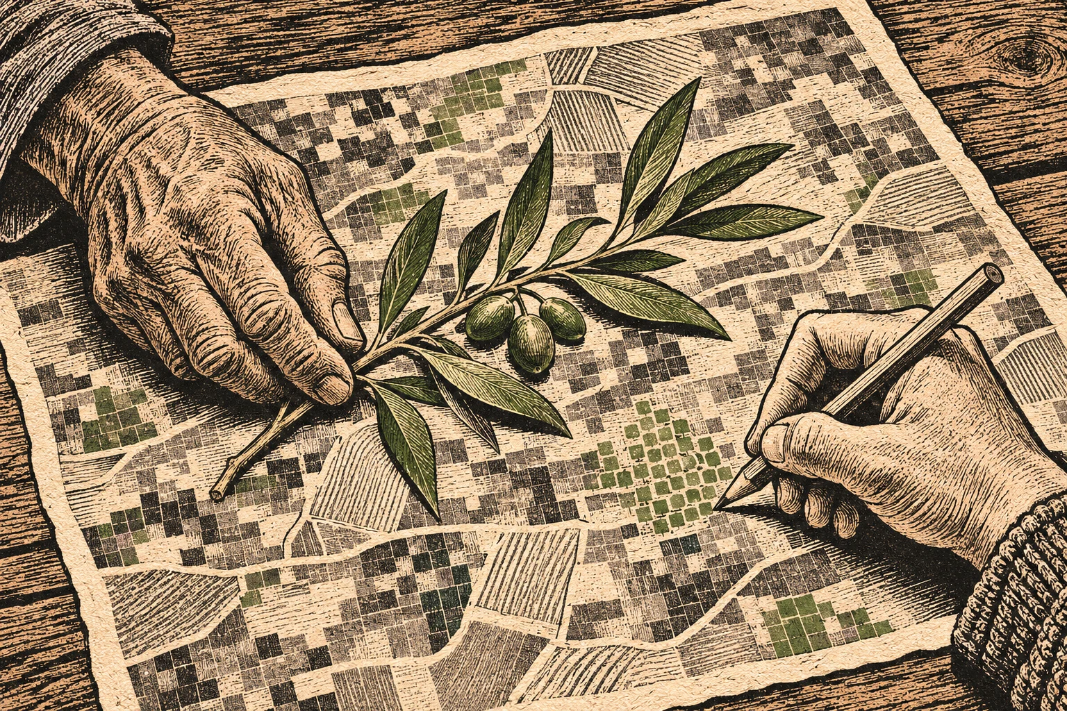
Dr. Yin is a co-founder of the Decentralized Damage Mapping Group, a mix of scientists, journalists and practitioners. Several members were approached separately by news outlets after the war began in October 2023, and they formalized the group about three years ago. It has met almost every week since, he said.
The UN Environment Programme, the FAO, Palestinian authorities and state agencies have all approached the group for information, Dr. Yin said. Reporters have used its maps as a starting point. “Our role is to document the damage, and journalists can use those findings to investigate what caused it and who may be responsible,” he said.
The group won the American Geophysical Union’s Open Science Recognition Prize this year and will be honored at the union’s ceremony in December. Dr. Yin separately received the American Association of Geographers’ 2026 Media Achievement Award for his analyses of farmland destruction in Gaza. The association said that work directly informed policy and humanitarian action.
His next project, funded by NASA, will build a benchmark for measuring farmland damage from floods, fires and drought worldwide, with researchers from IBM Research, NASA and the European Space Agency.