
In April 2025 the Shen Hai Yi Hao, China’s flagship deep-sea research vessel, came back to port on Hainan island from the Indian Ocean, and the state press reported it as a scientific triumph. A crewed submersible had gathered deep-sea sponges and sea cucumbers 5000 metres down. The state-run Qingdao Daily said the expedition had worked where three tectonic plates converge: ground prone to earthquakes, rich in marine life and little studied. Its chief scientist, Luan Xiwu, told reporters the findings would help with disaster reduction and the conservation of biodiversity.
The ship’s own transponder places it somewhere else.
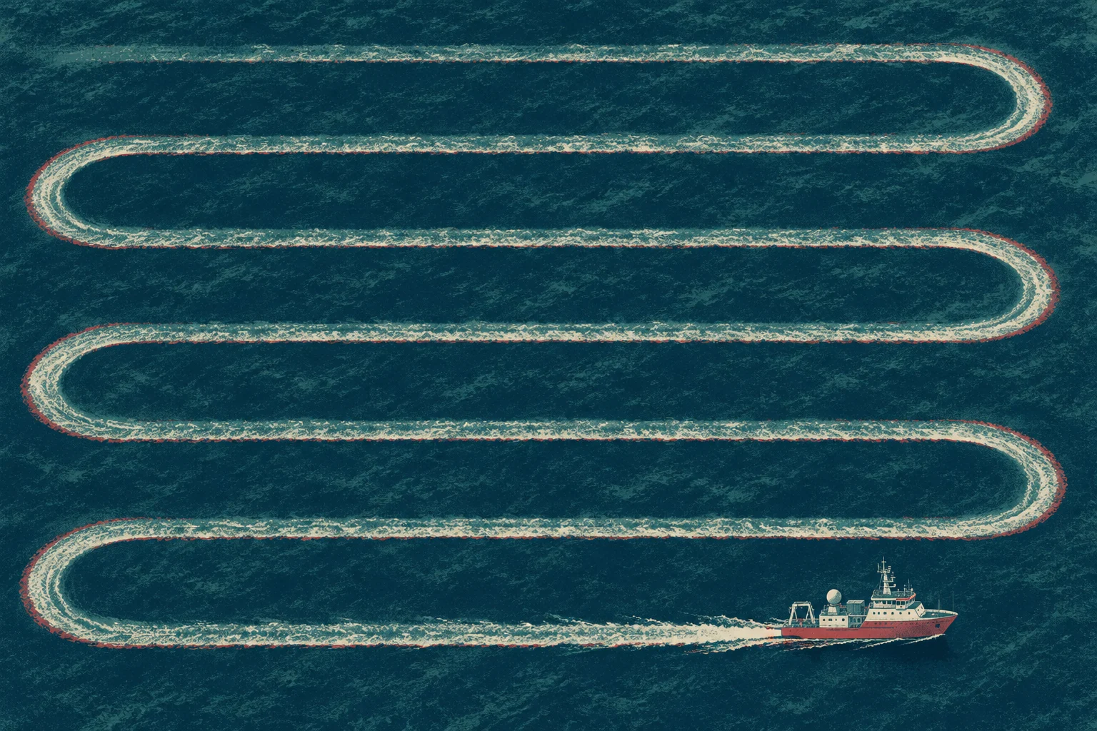
An investigation by The Australian Financial Review, built on Automatic Identification System (AIS) data and analysis from Starboard Maritime Intelligence, a New Zealand firm that works with government agencies and companies, puts the vessel’s survey area about 1600 nautical miles south-west of the region the newspaper described. On April 5, the day two Qingdao Daily articles reported that the ship had reached its survey area, its GPS was broadcasting a position in the waters between Christmas Island and the north of Western Australia. It stayed for more than a week, eight days in all, cutting tight parallel tracks across the water like a man mowing a lawn.
The grid
Others had been there before it. In 2020 the Xiang Yang Hong 01 spent 26 days tracing its own grid in the same stretch of sea. In 2021 the Shi Yan 3 spent nine days there. The Xiang Yang Hong 01 came back for six days in 2023, and again in 2024 and 2025 for seven days across those two visits. Between 2020 and 2025 these three ships logged 56 days between Christmas Island and Port Hedland, and kept returning to the same coordinates.
That patch of water is only part of the picture. Across six years of AIS records the analysis found nine Chinese government-owned research vessels making survey-like movements off northern and western Australia, in an estimated 43 expeditions and a combined 118 days. The waters they covered lie near major commercial shipping lanes, undersea communications cables and defence sites, among them HMAS Stirling, near Perth: Australia’s main submarine base and a key facility in the AUKUS partnership.
Ships carrying cargo between ports sail more or less straight lines. These ships drew ladders. Mark Douglas of Starboard says grids that tight can mean systematic mapping of the seabed, perhaps with multibeam sonar, picking out ridges, trenches and seamounts. The surveyed area sits north of Stirling and south of Indonesia. Richard Tanter, a senior research associate at the Nautilus Institute, a California think tank, traces the line on the map himself: Australian submarines heading for the South China Sea and north-east Asia, he says, will have to pass through some of the deeper straits of the Indonesian archipelago.
A slow campaign
The newspaper put the vessel movements in front of 10 experts in maritime intelligence, marine science and defence. Jennifer Parker, an adjunct professor at the University of Western Australia’s Defence & Security Institute, called it probably the world’s largest underwater research campaign, carried out in key strategic areas, “part of preparation of the battle space for both operation of submarines in new areas and also detection of submarines.” Sean Andrews, a retired Royal Australian Navy captain, put it more plainly.
Maritime strategy is long and slow. This says to me that this is a deliberate maritime campaign of underwater survey and, indeed, surveillance.
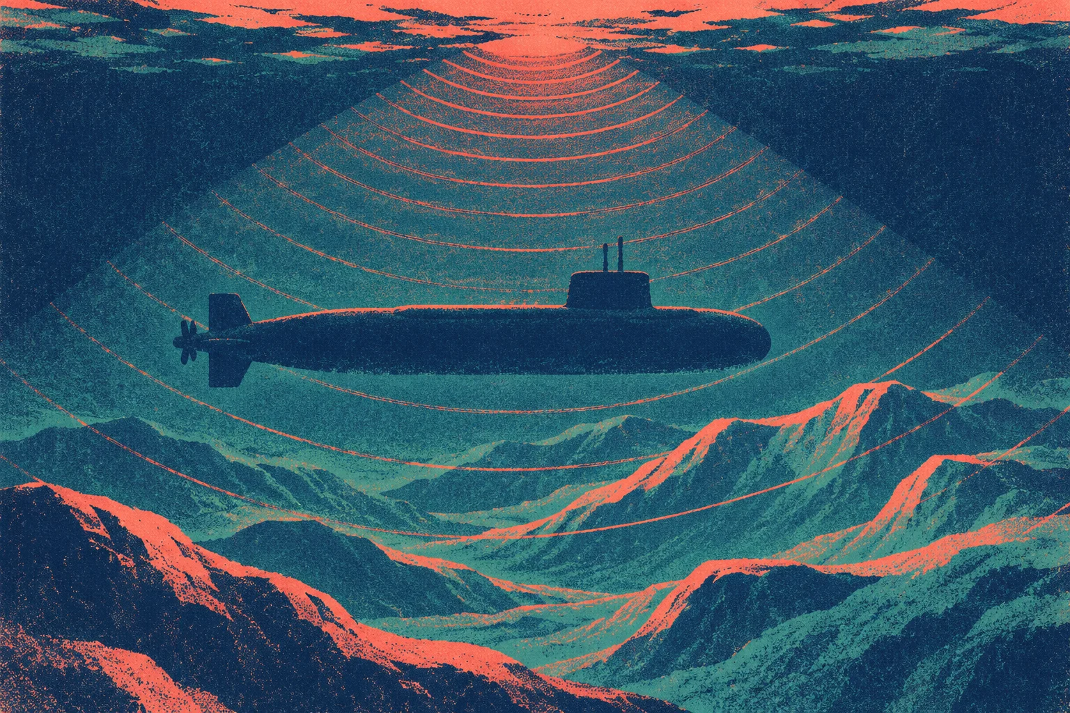
Survey and surveillance, Andrews argues, are close to interchangeable: you watch while you measure. Depth, the shape of the seabed, temperature, salinity all have plain scientific and commercial uses. The same figures tell a navy how to move through unfamiliar water and how sound carries underneath it. “They are the things you want to know if you’re a submarine commander,” says Tanter.
Here the contrast with the grey ships is sharp. In May 2022 the intelligence vessel Haiwangxing sailed down the west coast toward Exmouth and then east along the north-west, and Australia’s Defence department released imagery of it. The then defence minister, Peter Dutton, called it an “aggressive act”. In February 2025 a Chinese naval task group held unannounced live-fire drills in the Tasman Sea, and Defence officials later admitted they had learned of it about 40 minutes after the firing window opened, after commercial airlines picked up a radio broadcast. “Live fires don’t work any better in the Tasman Sea than they do in any other sea, except they send a clearer message,” says Raymond Powell of the maritime transparency project SeaLight.
The research ships send no message at all, and perhaps that is the point. They stay close to Australia’s exclusive economic zone but outside it, and they broadcast their positions over AIS as the law requires. Collin Koh, a senior fellow at Singapore’s S. Rajaratnam School of International Studies, says a research vessel offers an “innocuous” explanation for exploring the sea. A warship gets a press release. A ship collecting sea cucumbers gets a write-up in the Qingdao Daily.

Fusion
In China the line between laboratory and navy is blurred on purpose. Beijing’s strategy of military-civil fusion ties scientific development to national defence, and the revised National Defence Law, in force since 2021, wrote it into statute, legally obliging civilian institutions to support defence priorities. Koh describes close ties between government funders, state-owned ships and university expeditions, and argues that the people handing out the money can steer research toward strategic or economic payoffs. Douglas says the research fleet is widely accepted to be dual use.
Two of the nine ships, the Shen Hai Yi Hao and the Jia Geng, have also been reported making survey-like runs near Taiwan, where the coast guard says Chinese research vessel activity more than doubled over the previous year. Taiwanese officials call some of it lawfare, an effort to make Beijing’s presence in those waters normal. It belongs to a wider contest at sea around the island.
Returning to the same place
Why go back to the same coordinates four times in five years, at fairly regular intervals? Powell suggests the ships may have laid underwater sensors and come back to change batteries or collect stored data. The tracking records cannot show whether anything was left on the seabed. Other experts agree that measurements taken over months or years build a fuller picture of the underwater world, and Peter Layton, an associate fellow at the Royal United Services Institute, says an acoustic record of an area helps naval operators read sonar signals and detect submarines.
The water has commercial value too: it lies within the North West Shelf, one of Australia’s most important offshore oil and gas regions.
Neither the data nor the experts can prove what the expeditions were for. What the record does show is a state that announced sponges and sea cucumbers to its own readers, and a ship that, on the day of that announcement, was 1600 nautical miles from where they were told it was, mowing the sea between Christmas Island and Port Hedland.