
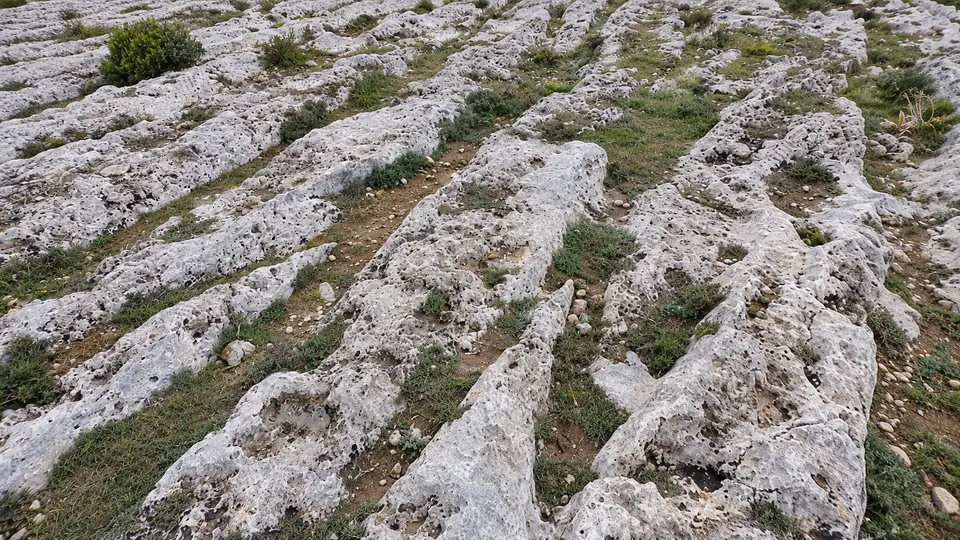
Malta has its own version of the Nazca lines: thousands of deep parallel grooves cut into the bare limestone of the islands, crossing hills, intersecting at odd angles and occasionally wandering straight into the sea. They are known as cart ruts, and at their densest spot, Misraħ Għar il-Kbir, the locals call the place Clapham Junction because the overlapping tracks look like a railway switching yard — an area just 80 by 100 metres packed with intersecting grooves. For centuries the default story was that the ruts were prehistoric, relics of the people who raised Malta’s megalithic temples. A doctoral researcher at the University of Malta has now assembled the evidence, and the evidence is being rude to that story.
A quick word on the underlying problem, because it is a mechanism problem more than a mystery. You cannot radiocarbon-date a groove. It is an absence of rock; there is nothing in it to test. So dating a cart rut is really an exercise in relative bookkeeping: you look for things whose ages you know — a road surface, a quarry floor, a tomb, a warehouse — and you work out which cut which. Joel Grima’s study, published in the Journal of Archaeological Science: Reports and covered by Arkeonews and Gizmodo, is essentially the largest such ledger ever kept for Malta: 2,628 distinct tracks totalling about 49.65 kilometres, examined across 228 archaeological sites, 155 of them modelled in 3D from drone and ground photography. Another 82 historically recorded sites have been destroyed or are now inaccessible, putting the known total across Malta and Gozo at 310.
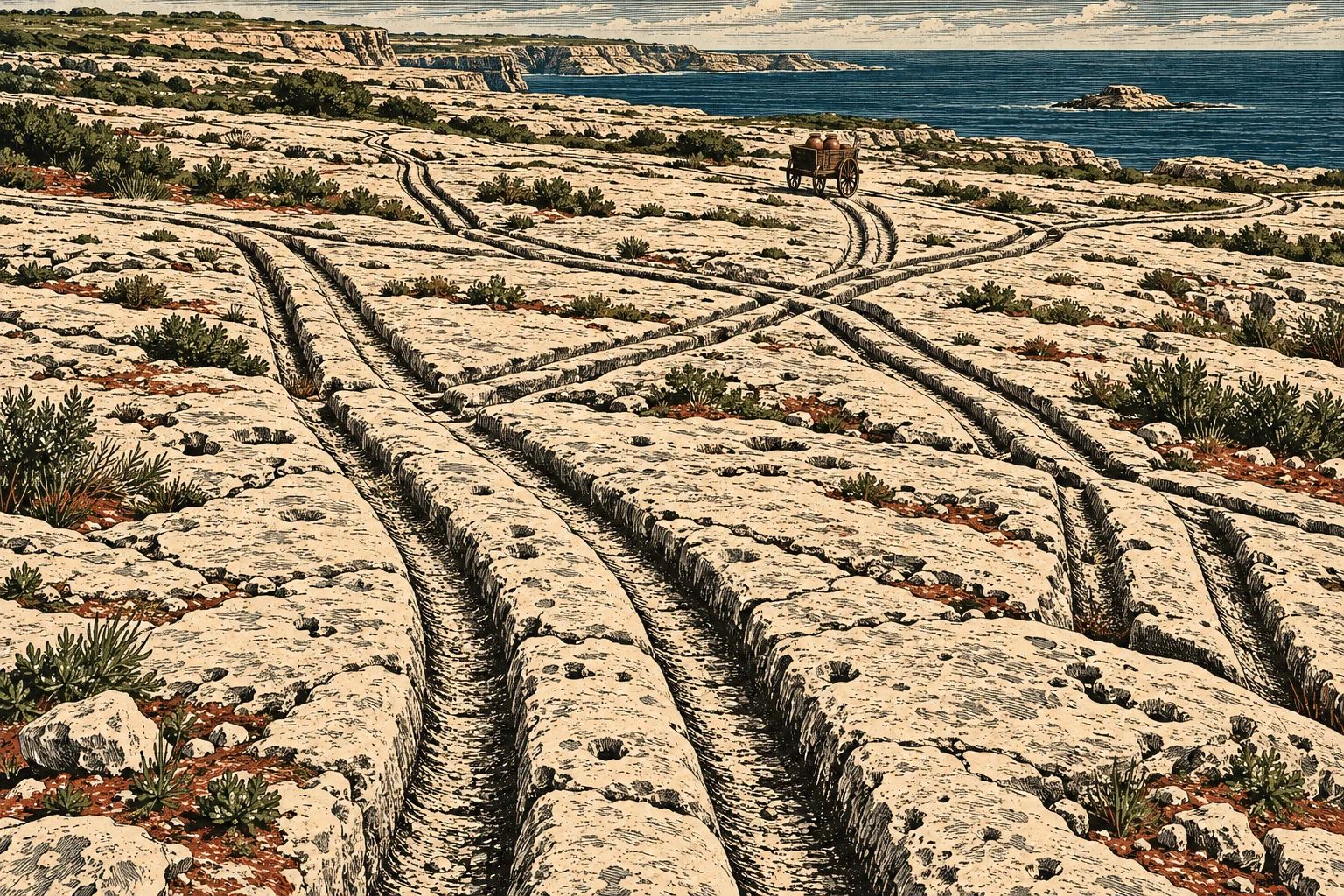
Grima told Gizmodo he started out favouring a late prehistoric, Bronze Age origin himself, and was then “completely swayed by the sheer volume of evidence” pointing later. The paper “highlights how much of the supposed evidence for a prehistoric age is in fact comparatively indirect and circumstantial,” he said. “In light of this, it is very likely that a significant proportion (and possibly all) of Maltese cart ruts date to post-prehistoric periods.” The period the evidence actually supports is the Classical one — defined in the study as running from the Phoenician colonisation of Malta around 700 BCE to the end of Byzantine rule in 870 CE, a span that covers the Punic, Roman and Byzantine eras. He found no reliable evidence conclusively dating any single pair of ruts to prehistory.
Follow the cuts
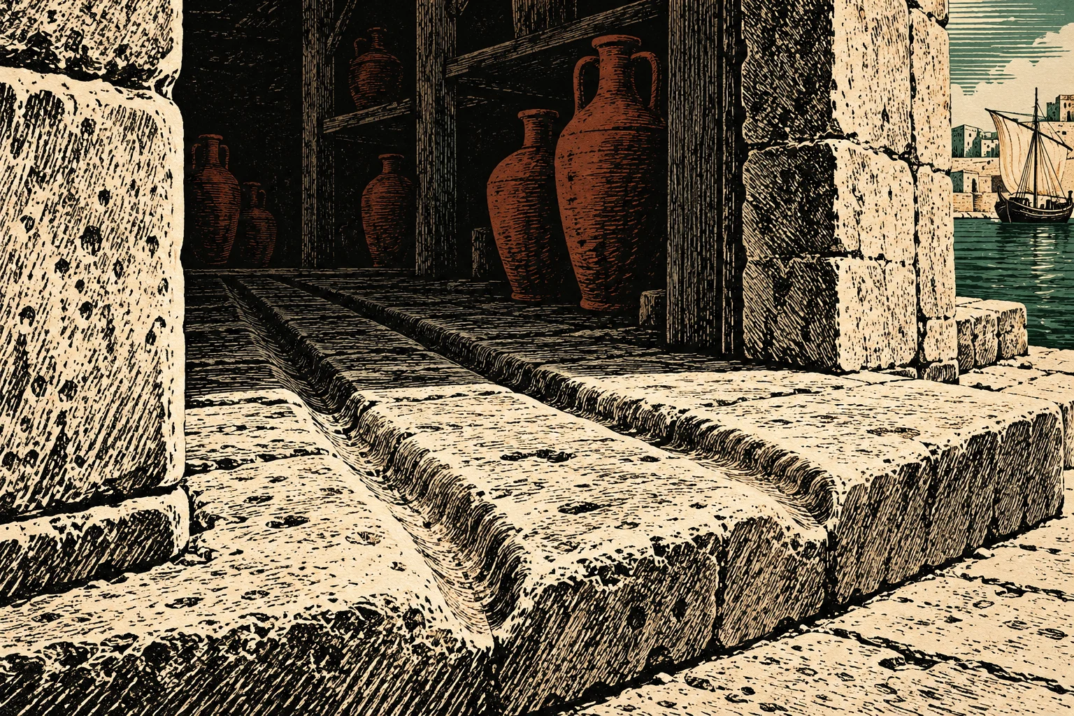
The bookkeeping, then. At the Domus Romana site in the ancient city of Melite, near modern Mdina and Rabat, a pair of cart ruts runs down a street lined with Roman buildings, with later Roman road surfaces laid over the original rock — meaning the grooves predate those paving phases and sit inside a working Roman street plan. At il-Qortin in Marsa, an eighteenth-century record describes substantial Roman warehouses beside the Grand Harbour, with cart tracks apparently linking the complex to the harbour and grooves running straight across the threshold stones of one warehouse. That is about as close as archaeology gets to a receipt: wheeled traffic serving Roman commercial buildings.
Then the quarries. Across the surveyed sites Grima documented 112 cases where quarrying cut through existing tracks and 17 where tracks ran across quarry floors, which fixes the order of operations even when no absolute date exists. At Ta’ Laroka one route crosses an old quarry floor and was then itself cut by later extraction, sandwiching the track between two Classical-era quarrying phases. Notably, the pattern undermines the old theory that the ruts existed mainly to haul quarried stone. Grima suggests the traffic came first — connecting farms, settlements, workshops and ports — and that quarry operators picked sites beside ready-made tracks because a road with a proven route for heavy loads is a valuable thing. The infrastructure attracted the industry, not the other way round.
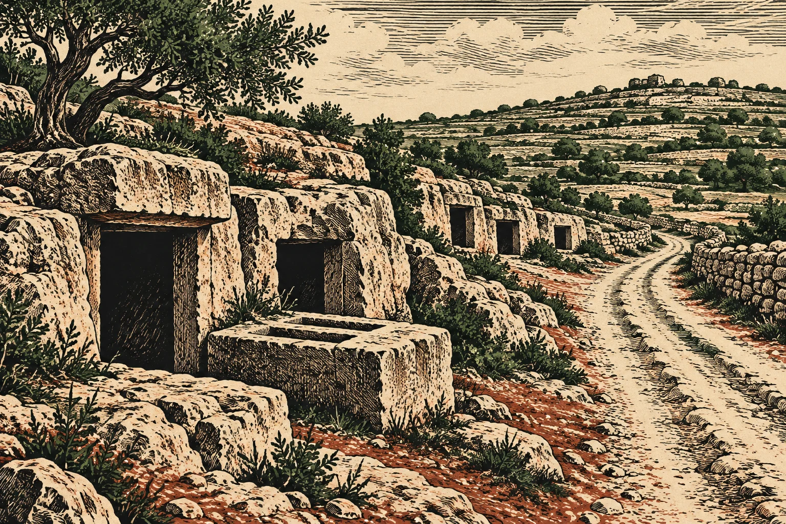
The dead confirm it. Comparing the tracks with 1,690 recorded burial features, Grima found roughly 34 per cent of the burials lay within 50 metres of a documented route. The Punic and Roman custom was to bury people beside roads, so the Tombs-to-Track Ratio — which is not a real metric, but perhaps should be — lands exactly where you would expect if these were the ordinary roads of a rural landscape.
The tracks under the sea
What about the grooves at il-Bajja ta’ San Ġorġ in Birżebbuġa, which walk down to the shoreline and keep going underwater? Those have long been Exhibit A for great antiquity: if the road once crossed dry land now beneath the sea, surely it is unimaginably old. Grima ran the numbers. Sea level around Malta has risen about 1.3 metres over the past two millennia, but the submerged grooves lie only about 30 centimetres below today’s mean sea level — comfortably compatible with a road still in use in Classical times, on a coast where erosion and shifting sediments have since eaten away the ground around it. The disappearing tracks say more about the coastline than about the carts.
As for how wheels cut channels into solid bedrock — grooves run as deep as 60 centimetres, with a gauge between pairs of 110 to 150 centimetres — Roman carts rolled on metal-rimmed wheels, and the basalt streets of Pompeii wear comparable ruts more than 20 centimetres deep. Plenty remains genuinely unsettled, Grima told Gizmodo: whether the grooves were deliberately carved or simply worn in, whether the vehicles were wheeled carts or slide cars, how the trade network was actually laid out. Similar ruts exist across Europe, Asia and North America — a “firmly global phenomenon,” the paper notes — but Malta’s density, on so small an archipelago, is “rivaled by few others.” The cart ruts show, as he put it, that “even questions that long seemed unanswerable can in fact be elucidated through critical analysis of available evidence.”
Which is the slightly deflating moral. Everyone wanted the lines in the rock to be a lost prehistoric transit system. They appear, instead, to be something more useful and less romantic: the worn paperwork of Roman Malta’s logistics industry, still legible if you are willing to read the quarry floors first.