
A year ago the ceasefire in Gaza came with a map, which Donald Trump first posted on Truth Social. It showed a yellow line marking where Israeli forces would withdraw to within 24 hours of the first phase taking effect, after which a 72-hour window opened for the handover of Israeli captives held in Gaza. The line was meant as a starting position. Under Trump’s 20-point plan, Israeli forces were expected to pull back further in stages, so the line was supposed to travel east, toward the border, and the space Palestinians could live in was supposed to grow.
It has gone the other way. As Mohammed Haddad sets out in a series of maps for Al Jazeera, nearly two-thirds of the Strip is now either under Israeli military control or subject to access restrictions, and the 2.1 million Palestinians in Gaza are confined to the remainder. More than 90 percent of them have been forcibly displaced at least once since the war began on October 7, 2023, after the Hamas-led attacks on southern Israel.
The whole thing is a problem of arithmetic, so it helps to start with the baseline. Gaza covers 365 square kilometres. It is about 41km long and between 6km and 12km wide. Before the war it held about 6,000 people per square kilometre, similar to Nairobi or London, which works out to roughly 160 square metres of land per person. Even then, not all of it could be used. Israel enforced a buffer zone along the fence, and Palestinians who approached it risked being shot; in 2010 the UN’s humanitarian office, OCHA, estimated the restricted area at 17 percent of Gaza’s land and 35 percent of its farmland. The territory has been under an Israeli land, air and sea blockade since 2007.
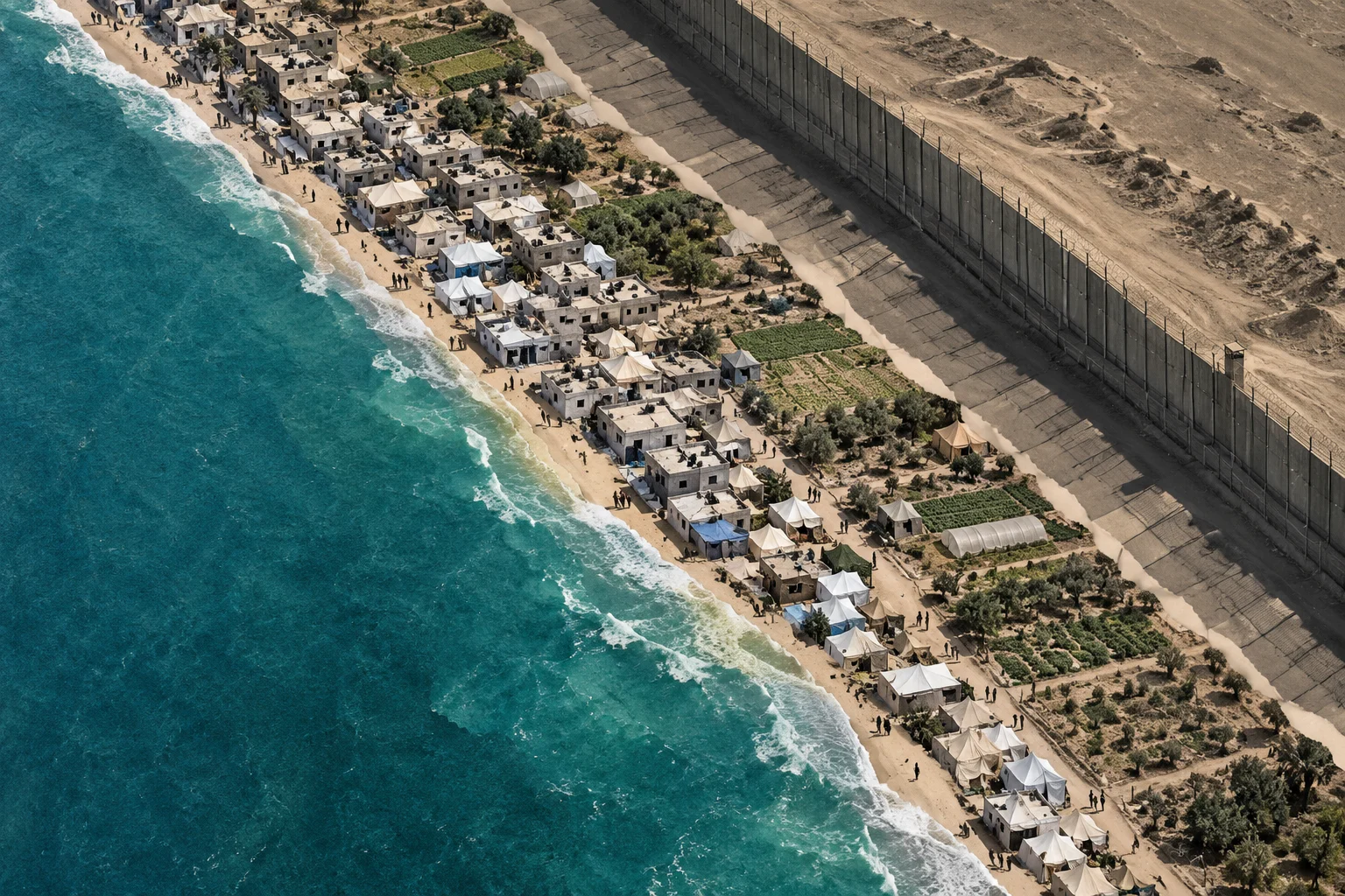
The ceasefire line left Israel in control of 53 percent of the Strip, mostly farmland and border areas in the east. Palestinians got the other 47 percent, about 172 square kilometres. By October 2025 the war had killed more than 67,000 Palestinians, and tens of thousands more had left, bringing the population down to about 2.1 million. Put 2.1 million people on 172 square kilometres and density doubles to around 12,000 per square kilometre, comparable to New York City, or about 82 square metres each.
The line moves
Then the yellow concrete blocks that mark the line started moving west, sometimes overnight. Satellite imagery has also documented continued demolitions in the areas Israeli forces hold. The research group Forensic Architecture estimated that Israel controlled 58 percent of Gaza by December; its director, Eyal Weizman, wrote in the London Review of Books that Israel had shifted the line west unilaterally, and that his researchers had identified a new earth berm built along much of its path and seven new military outposts, for 48 in all east of the line. The Israeli rights group Gisha reached the same figure of roughly 58 percent.
In March, according to Al Jazeera, the Israeli military sent aid agencies maps of an “orange line”, a further restricted zone beyond the yellow one inside which humanitarian movements have to be coordinated with the army. OCHA’s situation report from late June put the area inside the orange line at 64.9 percent of the Strip, which is where the round 65 percent figure comes from. Israel’s own number is higher: a UN official told the Security Council in June that Israel said it controls about 70 percent.
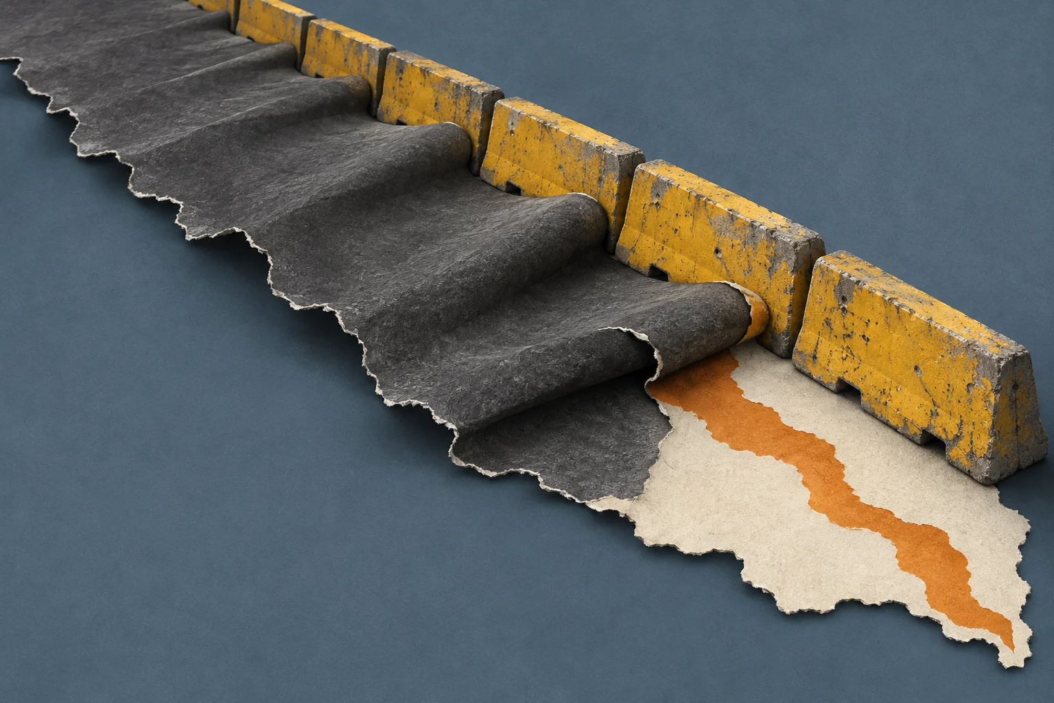
Take the 65 percent figure and run the same sums. What is left is 35 percent of Gaza, about 128 square kilometres, for 2.1 million people. That is roughly 16,000 people per square kilometre, nearly triple the pre-war density and close to central Tokyo, and about 61 square metres per person. That 61 square metres has to cover shelter, roads, schools, hospitals and farmland. Between the 172 square kilometres Palestinians had when the ceasefire began and the 128 they have now, about 44 square kilometres have gone, roughly a quarter of their share, and all of it during a truce.
The Tokyo comparison only goes so far, because Tokyo has buildings. The UN Satellite Centre, UNOSAT, found that 82 percent of structures in the Strip are damaged or destroyed. The UN Food and Agriculture Organization says only 3 percent of Gaza’s cropland is both undamaged and accessible. Much of what used to grow food sits on the eastern side of the line, along with, as rews has reported, many of the missing.
Not knowing where it ends
On Sunday, Israeli forces moved the yellow blocks dozens of metres west in Shujayea, a neighbourhood in the southeast of Gaza City, forcing families there to flee and bringing more of the area under Israeli military control. Ibrahim al-Khalili, reporting for Al Jazeera from Gaza City, put the problem this way:
“It’s not simply about where the ‘Yellow Line’ is today but where it can move next. For families who have been repeatedly displaced in the past three years, the situation remains dire, and they have to make the impossible decision of where they can go.”
A fixed boundary, however harsh, is at least something people can plan around. A boundary that moves without notice leaves every family near it guessing, and the cost of guessing wrong is severe. Israel treats the area beyond the line as a free-fire zone, and Palestinians who have come near it have been shot. OCHA noted in June that people living near these areas do not necessarily know where the restricted zones begin, because the lines have never been clearly communicated to them. The UN Human Rights Office verified the killing of 196 Palestinians, including 18 women and 43 children, in Israeli attacks reported near the line between October 10, 2025 and early April this year. Across Gaza, nearly 1,500 people have been killed since the ceasefire was announced.
The next deadline is the weather. OCHA describes the remaining 35 percent as “already overcrowded” and says the access restrictions are a key obstacle as aid groups try to move families before the rainy season. More than 950,000 people live in displacement sites at risk of flooding, according to the UN, most of them in tents and makeshift shelters. Moving them somewhere safer requires land, and land is exactly what the line keeps taking.
The ceasefire did what ceasefires are judged on in the headlines: the hostages came home and the large-scale bombardment stopped. A ceasefire is also an agreement about where people are allowed to be. On the map posted a year ago, Palestinians had 47 percent of Gaza. Today they have about 35 percent, and nothing in the agreement as it has been carried out sets a floor.