
The Pacific Ocean is warming unusually quickly, and this year’s El Niño has already surpassed previous records, an explainer published this month by The Conversation reported. Forecasters expect it to strengthen further as it approaches its usual peak around December.
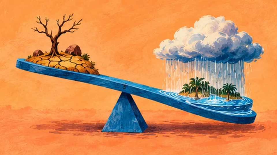
Yet the very same warming that parches one region can flood another, and both outcomes grow from a single chain of cause and effect: where the Pacific’s warm water sits, and what that does to the air above it.
Ordinarily, the trade winds blow from east to west across the tropical Pacific, piling warm surface water up around Indonesia. Colder deep water rises to replace it in the east, a process called upwelling, so the western Pacific normally runs far warmer than the east.
Warm water evaporates faster, moistening air that the ocean also heats. The heated air grows less dense, rises, expands in the lower pressure above it and cools, and its vapor condenses into clouds and rain, releasing heat into the atmosphere. High aloft, that air spreads out, some of it heading east to sink over the cooler eastern Pacific, while near the surface air flows back west as the trades. The loop is the Walker circulation.
That is why parts of Indonesia can receive more rain in a single month than Lima receives in an entire year, while coastal Peru stays dry. The pattern also feeds itself: the warm west keeps air rising and the trades blowing, and the trades keep pushing the warm water west, a self-reinforcement scientists call the Bjerknes feedback.
El Niño breaks the pattern. The trades weaken, less warm water shifts west, and the central and eastern Pacific warm instead. The zone of strongest evaporation and rainfall follows the warm water east, bringing wetter conditions to coastal Peru and nearby regions, while sinking air over the west leaves Indonesia and its neighbors far drier than usual, at times dry enough to raise the risk of forest and peatland fires.
With the east-west temperature contrast smaller, the pressure difference driving the trades fades, and the winds weaken further still. The whole Walker circulation slackens and slides east.
The influence travels. Because the heat released by condensing vapor shifts east with the rain zone, the middle and upper tropical atmosphere warms far beyond the Pacific. In the Sahel, the southern fringe of the Sahara, that warming keeps moist surface air from rising, suppressing rain clouds and letting more sunlight bake the land — the tropospheric temperature mechanism.
A second pathway sends huge ripples through the atmosphere, triggered by the shifted rain zone, that bend winds and storm paths far from the Pacific. Even Britain feels it: El Niño raises the chance of a wetter, stormier autumn and early winter, and of colder spells later in winter, though the link is looser than tropical ones because other forces shape British weather. A third route alters other oceans, interacting with the Indian Ocean dipole, the temperature seesaw between the ocean’s west and east that drives rainfall over East Africa and parts of India.
None of it settles any given day’s weather. Thailand generally runs drier during El Niño, yet parts of the country, including Bangkok, saw heavy rain and flooding this September. India’s monsoon has been unusually dry this year over all, while some regions still endured intense rain and floods. “El Niño shifts the odds,” the piece concluded, “but local weather systems can still produce extremes in the opposite direction.”