
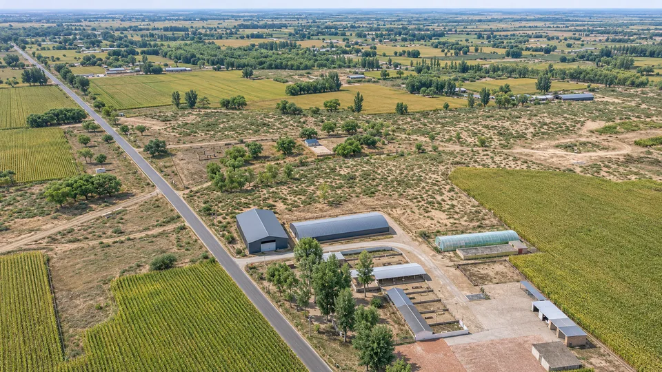
Two numbers frame a desert excavation in northern Shaanxi: a structural core of roughly 10,000 square metres, and a scatter of broken roof tiles and bricks spread across about 150,000 square metres around it — fifteen times the core’s footprint. The site, called Huangtuliang, sits in Yulin’s Yuyang District, on the southeastern edge of the Mu Us Sandy Land, where farmland meets dune. It was logged decades ago in China’s national cultural-heritage survey as a Han-dynasty (206 BC–AD 220) settlement. A new field survey by the Yulin Institute of Cultural Relics and Archaeology, launched in August 2026 and announced by the Shaanxi Provincial Cultural Heritage Administration on November 10, reclassifies it: Qin, about 2,200 years old, and not a village at all, as arkeonews.net reported.
What a roof tile tells you about rank
The reclassification rests on tile typology, not radiocarbon dates. Surface collection turned up cloud-pattern roof tiles and square, grid-studded bricks — common enough across Qin-era (221–206 BC) sites generally — alongside large kui-pattern roof-end tiles, decorated with a mythical dragon-like creature. Chinese archaeologists restrict that motif, in its large form, to the empire’s highest-ranking buildings: the imperial palaces at the Qin capital Xianyang and the monumental tomb complex of the first emperor, Qin Shi Huang, according to the Chinese outlet The Paper’s report on the institute’s findings. Three roughly dressed stone column bases on the surface point the same way. None of this proves an imperial visit; it proves a building that only the court or its administration had the resources to put up.
| Find | Where else it appears | What it indicates |
|---|---|---|
| Large kui-pattern roof-end tiles | Qin Shi Huang's mausoleum complex, imperial palaces | Reserved for the empire's highest-rank buildings |
| Cloud-pattern roof tiles | Widespread at Qin-period sites | Dates the site to the Qin, not status |
| Three stone column bases | Monumental halls elsewhere | Scale of construction beyond a village or outpost |
| Rammed-earth platforms, ceramic drainage pipes, a well | Palace and administrative complexes | Engineered infrastructure, built to last |
| Almost no everyday pottery | — | Short-term, specialised use rather than continuous habitation |
Source: Yulin Institute of Cultural Relics and Archaeology, via The Paper
Drilling beneath the sand found what the surface alone couldn’t show: rammed-earth platform foundations, a well, and ceramic drainage — round pipes and right-angle elbow fittings — consistent with a built complex rather than a camp. The scarcity of ordinary household pottery at the site argues against it being a village, a garrison fort, or a county seat, all of which leave thicker domestic debris; Shaanxi’s heritage administration frames Huangtuliang instead as a lodging palace, a waystation built for an imperial road, not for settlement.
The road it may have served
That road is the Qinzhidao, the Qin Straight Road, begun in 212 BC — the 35th year of Qin Shi Huang’s reign — under the general Meng Tian, according to Sima Qian’s Records of the Grand Historian. Its total length is reported inconsistently: the Shaanxi account relayed by Global Times gives “more than 700 kilometres,” while Baidu Baike’s reference entry and a separate archaeological report put the full route, from Xianyang to Jiuyuan near present-day Baotou, at close to 900 kilometres. The discrepancy — roughly 200 kilometres, more than a quarter of the shorter figure — has not been resolved by any single continuous excavation of the whole route; neither has the road’s path through the Mu Us desert, which is exactly the gap Huangtuliang is meant to help close.
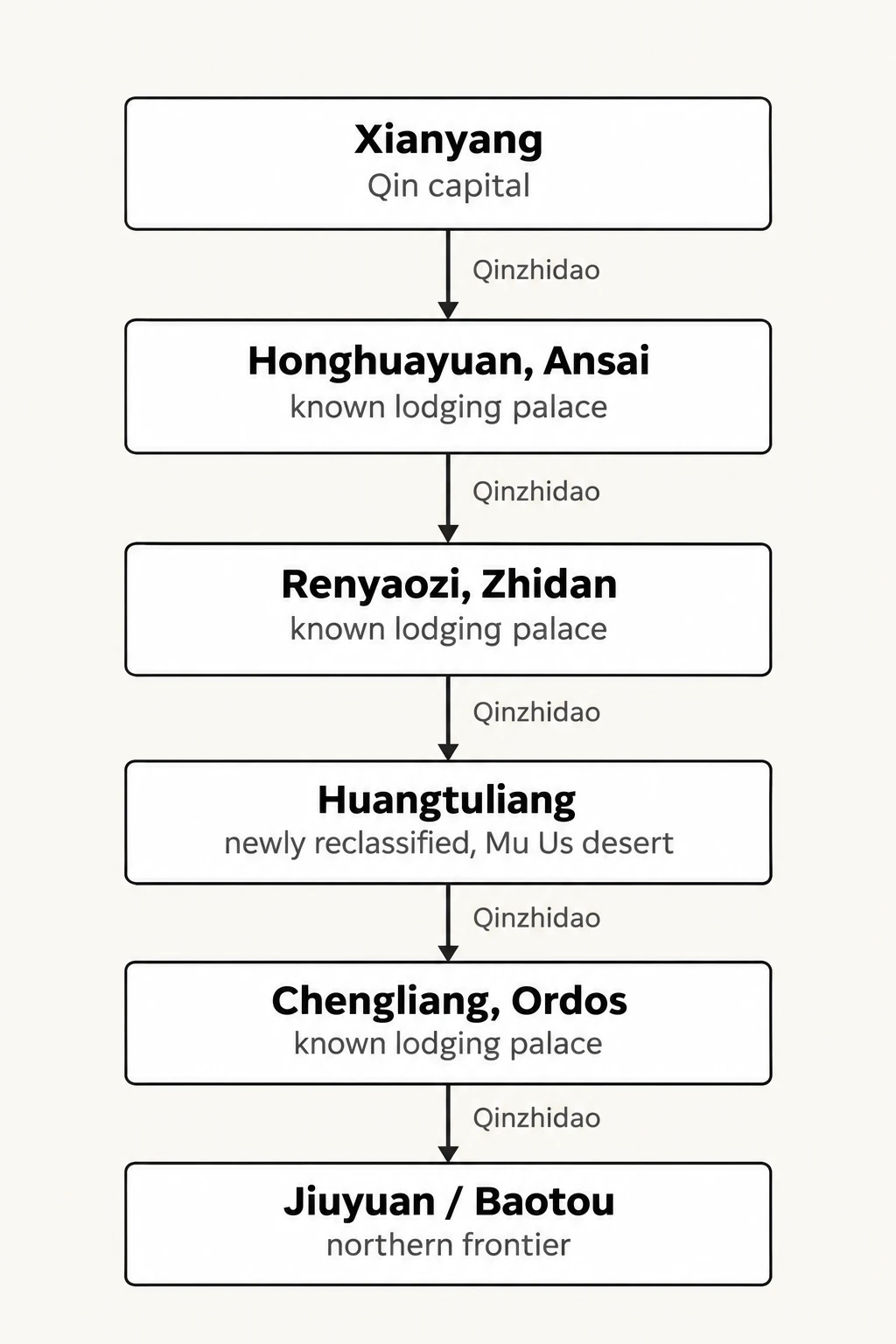
| From | To | How |
|---|---|---|
| Xianyang (Qin capital) | Honghuayuan, Ansai (known lodging palace) | Qinzhidao |
| Honghuayuan, Ansai (known lodging palace) | Renyaozi, Zhidan (known lodging palace) | Qinzhidao |
| Renyaozi, Zhidan (known lodging palace) | Huangtuliang (newly reclassified, Mu Us desert) | Qinzhidao |
| Huangtuliang (newly reclassified, Mu Us desert) | Chengliang, Ordos (known lodging palace) | Qinzhidao |
| Chengliang, Ordos (known lodging palace) | Jiuyuan / Baotou (northern frontier) | Qinzhidao |
A year earlier, the same institute had surveyed a 13-kilometre stretch of the Qinzhidao further south, with nine consecutive mountain notches cut in a straight line and slopes reinforced with compacted earth. There, the South China Morning Post reported, the roadbed itself measured 40 to 60 metres wide, with clearance to the flanking passes running 50 to 90 metres — wide enough, the paper wrote, “to be compared to a modern 4-lane highway.” That stretch is one of the few continuous sections anyone has actually dug. Most of the route, including whatever runs past Huangtuliang, is still inferred from scattered traces rather than confirmed by excavation.
Hunting for a road buried by dunes
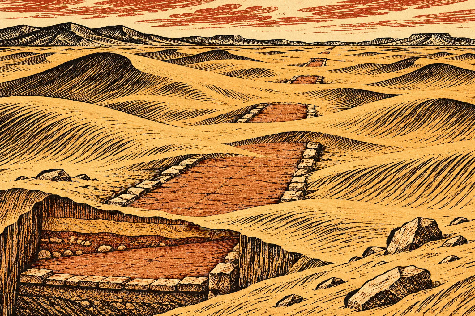
Near Huangtuliang itself, surveyors found, 7.5 kilometres to the southwest, a discontinuous line of compacted yellow earth and red clay running almost 800 metres on a north-northeast bearing — the direction the road should take if it runs straight between a confirmed stretch to the south, in Hengshan, and another in Ordos to the north. Researchers have not confirmed this earthwork is the road; they have only shown it sits where the road’s own engineering logic, cutting through rather than around obstacles, says it should. The institute’s own language is cautious: the traces may belong to the lost route, and further archaeological work is needed to say more, per the account relayed by Global Times.
The materials at Huangtuliang resemble those at three other confirmed lodging palaces on the route — Chengliang in Ordos’ Dongsheng District, Honghuayuan in Ansai, and Renyaozi in Zhidan County — all of which sit close to the road, typically on elevated ground to its east, per The Paper’s account of the institute’s comparison. Researchers estimate Huangtuliang was built sometime between 215 BC, the 32nd year of Qin Shi Huang’s reign, and the dynasty’s collapse in 206 BC — a window of roughly a decade. No evidence places the emperor there himself.
The Qin dynasty ruled for 15 years, from unification in 221 BC to its fall in 206 BC, yet left standardised writing, weights and measures, and a road network built for central control rather than trade. Most of Huangtuliang remains under sand, undug. What would settle the reclassification is a sealed, datable deposit — not surface tile — and what would settle the road question is a continuous trench across that 800-metre gap, the kind of work the 13-kilometre stretch further south already got and the Mu Us desert section has not.